 |
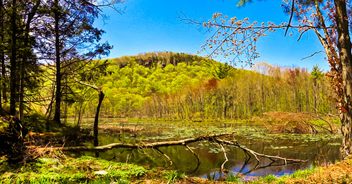
| Bluff Head Mattabesett Trail |
The Western portion of CT, bordered by New York and Massachusetts, is where two national trails can be found: The Appalachian Trail (AT) and The New England Scenic Trail (NET). But don't overlook the State's Blue Blazed regional trails and local land trusts. Here are 10 of Western CT's most rewarding hiking trails.
#1 The Mattabesett Trail
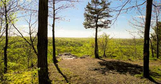 |
| Mattabesett Trail at Bluff Head |
Communities: Berlin, Middleton, Meriden, Guilford, Wallingford, Durham, North Branford, Haddam
Difficulty: Difficult
Miles: 50
The Mattabesett Trail is one of the three original Blue Blazed trails in CT. It joins with The Metacomet and Menunkatuck to form Connecticut's portion of The New England National Scenic Trail (NET). The Mattabesett traverses 50 miles along traprock ridges through the Connecticut River valley.
Map and Article Here
#2 Westwoods Land Trust
![By Morrowlong (Own work) [CC BY-SA 4.0 (https://creativecommons.org/licenses/by-sa/4.0)], via Wikimedia Commons By Morrowlong (Own work) [CC BY-SA 4.0 (https://creativecommons.org/licenses/by-sa/4.0)], via Wikimedia Commons](https://1.bp.blogspot.com/-9yxteVrPobA/WoBp9nQXgDI/AAAAAAAAI8Y/yib6gqZ0iPgBLvX8YpVRLx_PZBwn3InpQCEwYBhgL/guilford%2Bwestwoods-banner-002.jpg) |
| By Morrowlong (Own work) [CC BY-SA 4.0 (https://creativecommons.org/licenses/by-sa/4.0)], via Wikimedia Commons |
County: New Haven
Communities: Guilford
Miles: 20 Miles Combined
Guilford is the quintessential small town with an arts-village-type town square framing a manicured New England green. Its WestWoods Land Trust brings in mountain bikers, boulderers, hikers, and dog walkers from around the state. If Westwoods was a county fair, its Yellow Circle Trail would be the funhouse. Here is one of the most cleverly blazed hiking trails in all of New England ... delights and surprises abound.
Map and Article Here
#3 The Menunkatuck Trail
 |
| By H. Morrow Long (Own work) [CC BY-SA 3.0 (https://creativecommons.org/licenses/by-sa/3.0)], via Wikimedia Commons |
Communities: Guilford, Madison
Miles:16
The Menunkatuck Trail is the first/last leg of The New England National Scenic Trail. It extends North from Long Island Sound at Guilford Harbor to a junction with the Mattabesset Trail in North Branford. The 16 mile trail crosses through The Cockaponsett State Forest, Tiimberlands Preserve, and Nut Plains Woods. Other sections are along roads through Guilford town center. There are several good parking areas, and the trail may easily be split into three segments.
Map and Article Here
#4 The Housatonic Range Trail
 |
| Housatonic Range Trail |
Communities: New Milford, Kent
Difficulty: Difficult
Miles:7
The Housatonic Range Trail is a CT Blue Blazed Trail in New Milford. The route is an out-and-back linear trail that ascends several minor summits in the Southern Berkshire Mountain Range. The blue blazes lead through three dimensional stone ciphers demanding some bouldering technique. Some of these full body climbs can be intimidating, but with care and thought they can be negotiated without much exertion. Overall, this trail has the feel of a regional trail. There are plenty of features to keep you interested throughout your hike.
Map and Article Here
#5 Aspetuck Land Trust (Trout Brook Valley Preserve)
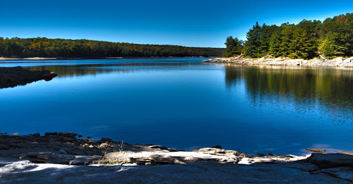 |
| Aspetuck Resevoir from the Trout Valley Preserve |
Communities: Eston, Westport, Redding
Difficulty: Easy to Moderate Options
Miles:1-20
The Trout Brook Valley Preserve is part of the larger Aspetuck Land Trust in Easton Ct. This not-so-obvious park contains Fairfield County's premiere hiking and mountain biking trails. This is one of my favorites - partially because it is so near to home - but also it is a surprisingly exotic environment and offers a good variety of terrain. I hike here about once each week - usually for a sundown hike after work.
Map and Article Here
#6 The Metacomet Trail
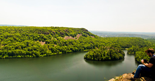 |
| Metacomet Trail |
Communities: Suffield, East Granby, Tariffville, West Hartford, Newington, New Britain, Plainville, Meriden,
Difficulty: Difficult
Miles:70
The mighty Metacomet is a 70 mile long Blue Blazed trail. It is the third leg of the New England Scenic Trail in Connecticut that also includes the Menunkatuck and Mattabesset trails.
Map and Article Here
#7 The Pomperaug Trail
 |
| By Morrowlong (Own work) [CC BY-SA 4.0 (https://creativecommons.org/licenses/by-sa/4.0)], via Wikimedia Commons |
Communities: Oxford, Southbury, Newtown
Difficulty: Moderate
Miles: 5
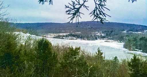
The Pomperaug is one of Connecticut's principal Blue Blazed Trails. It is another of the Zoar area trails, across Lake Zoar from The Zoar trail, and The Paugussett. Its 4 miles traverse through Jackson Cove Recreational Area and Kettletown State Park. The opportunity to loop back on The Crest trail makes an 8 mile round trip through pines and past overlooks with sweeping views of the Housatonic Valley.
Map and Article Here
#8 The Zoar Blue Blazed Trail
 |
| Zoar Trail |
Communities: Newtown, Monroe
Difficulty: Easy
Miles:7
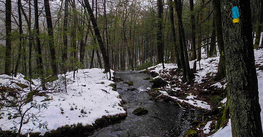
There are few loop trails on the list of CT Blue Blazed Trails.The Zoar Trail is one of them, which is convenient for a lone-wolf hiker like myself. In most cases I have to hike a trail twice - once out, and once back. Located in Newtown, this is a trail that is close to NY Metro area. It is an easy trail, an excellent introduction to Blue Blazed hiking in Connecticut.
Map and Article Here
#9 The Paugussett Trail
 |
| Indian Well - Photo by Andrew K |
Communities: Shelton, Monroe
Difficulty: Moderate
Miles:10
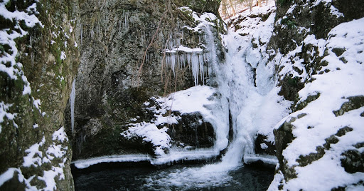
The Paugussett is a Blue Blazed Trail that glides across a high ridge along the Housatonic River from Shelton nearly to Newtown. It turns inward and follows along Boys Halfway River through a verdant ravine. The views of The All American Valley are good. The hike, strenuous at times, is mostly comfortable and well traveled. Though the trail traverses two major parks, it also skirts residential areas.
Article and Map Here
#10 Macedonia Brook State Park
 |
| Macedonia Brook State Park |
County: Litchfield
Communities: Kent
Difficulty: Moderate
Miles:6
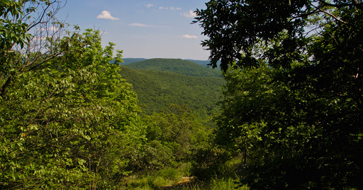
Quaint Kent is host two magnificent State Parks - Macedonia Brook and Kent Falls. The hiking in Macedonia Brook is exhilarating and offers sweeping views of The Berkshires, Tachonics, and Catskills.
Map and Article Here
The Mother of All Trails: The Appalachian Trail (AT)
Not to Forget, The Appalachian Trail enters Connecticut from New York in The Oblong. It meanders through the far Western edge of Connecticut until it crosses into Massachusetts near the popular hiking retreat Bear Mountain.You can read more about Connecticut's portion of the AT here:
https://www.appalachiantrail.org/about-the-trail/terrain-by-state/connecticut
National Trail in the Making: The New England Scenic Trail (NET)
The New England Scenic Trail begins (or ends) on the shores of Long Island Sound in Guilford. It travels about 200 miles through CT and Mass. Perhaps one day it will connect to popular trail areas in New Hampshire's White Mountains.Connecticut's portion of the NET include these three Blue Blazed trails:
The Menunkatuck
The Mattabesett
The Metacomet
You can learn more about The NET here: https://www.nps.gov/neen/index.htm
